Mir Adina · میرآدینه — the district centre
Mir Adina is the administrative centre of Malistan district. Spellings in English include Mir-a-Dina, Miradina and Mir Adina; in Dari it is written میرآدینه. The district's government offices, main bazaar and health facilities are concentrated here. The map on this site marks an approximate location; it does not draw formal administrative boundaries.
Wikipedia · Malistan district · Reference overviewMaknak · مکنک
Maknak is one of the district's best-documented communities thanks to a rigorous 2022 academic study. Researchers interviewed 120 women in Maknak about livestock care—cows, sheep, goats and poultry—and the practical knowledge required for rural livelihoods at high altitude. The study found that women in Maknak carried a disproportionate share of livestock-management responsibilities and called for veterinary training to reach them directly.
Kamal et al. · Women and livestock management in Maknak · 5 December 2022Now Deh · نودِه — the village of songs
A local account published in Hasht-e Subh describes Now Deh as a community with a distinctive musical tradition, one that produced several generations of performers. The family of Safdar Ali Malistani is linked to this village. Musical knowledge was practised across families in Now Deh, by women and men alike, in ways that shaped Hazaragi folk sound for generations.
Hasht-e Subh · The puzzle of Abay Mirza · 22 July 2019Pashia and Sheer Dagh
The UNHCR historical profile names Pashia and Sheer Dagh among Malistan's nine administrative regions. Both lie within the district's highland terrain. Detailed community-level documentation of these areas remains limited in published sources; future editions of this archive hope to include local accounts and photographs.
UNHCR · Malistan district profile · 24 February 2003The landscape and its seasons
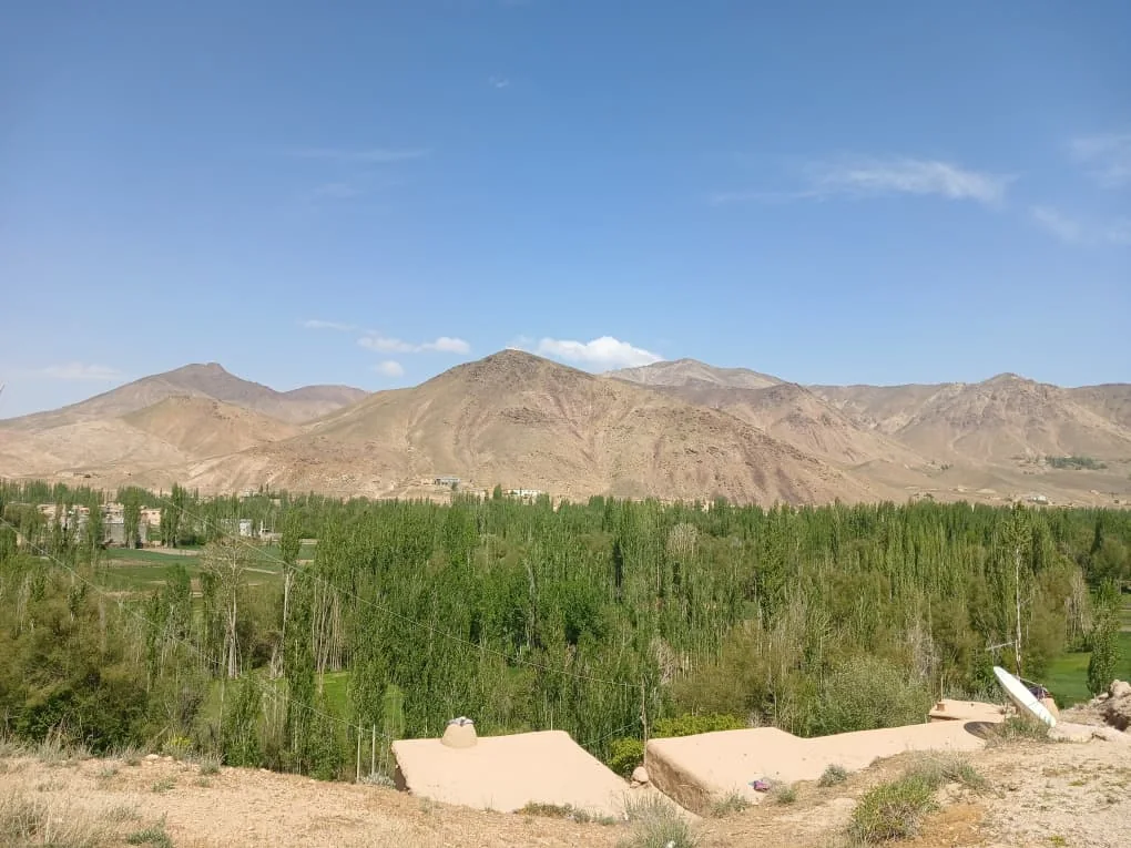
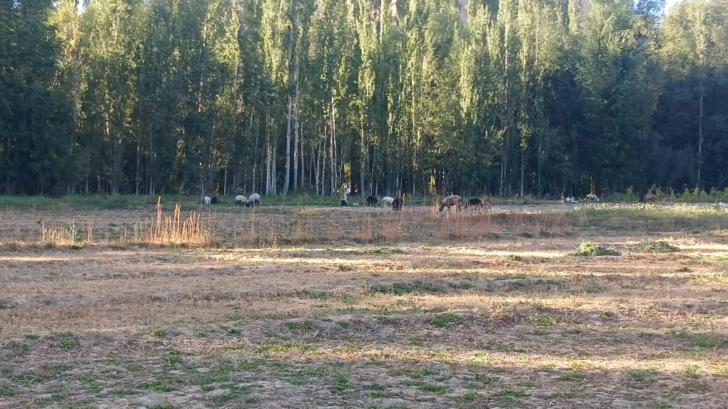
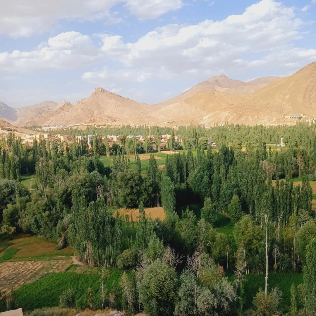
Malistan's altitude shapes life fundamentally. Winters are cold and snow-covered, often isolating villages from each other and from the provincial capital. Summers bring warmth and a brief growing season. The district's main crops include wheat, maize, peas, grapes, almonds, potatoes, onions and various herbs. Livestock—sheep, goats, cattle—graze the highland pastures and provide wool and dairy products alongside meat.
UNHCR · Malistan district profile · 24 February 2003Mountain neighbours
The UNHCR historical profile places Ajristan district to the north, Nawur to the northeast, Jaghori to the south, and Uruzgan province to the southwest. The road connecting Malistan to Qarabagh district and onward to Jaghori has historically been the district's main link to markets and provincial services. Place names and administrative divisions should always be read in the context of their source date.
UNHCR · Malistan district profile · 24 February 2003